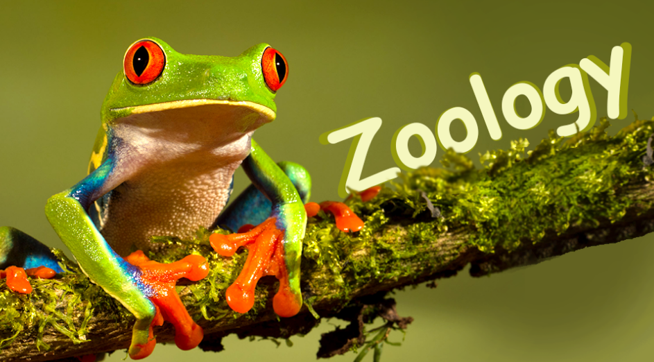


Zoogeography is the branch of biogeography that deals with the distribution of animal species and populations across geographical areas of the Earth. The world is traditionally divided into six major zoogeographical (faunal) regions, each with its unique assemblage of fauna due to historical isolation, climate, and evolutionary factors.
Major Zoogeographical Regions
Palaearctic Region
Nearctic Region
Neotropical Region
Ethiopian (Afrotropical) Region
Oriental (Indo-Malayan) Region
Australian Region
1. Palaearctic Region
Covers: Europe, North Africa, Northern and Central Asia (up to Himalayas)
Climate: Temperate to arid
Typical Fauna: Wolves, bears, deer, wild boar, snow leopard
Special Note: Shares species with Nearctic due to Bering land bridge
2. Nearctic Region
Covers: North America (excluding tropical Mexico), Greenland
Climate: Arctic to temperate
Typical Fauna: Bison, beaver, mountain lion, pronghorn, grizzly bear
Shared Fauna: Similar to Palaearctic (together called Holarctic)
3. Neotropical Region
Covers: South and Central America, tropical Mexico, Caribbean Islands
Climate: Tropical and subtropical
Typical Fauna: Sloths, armadillos, jaguars, macaws, anacondas
Highly diverse and endemic
4. Ethiopian (Afrotropical) Region
Covers: Sub-Saharan Africa, Madagascar
Climate: Tropical savanna, rainforest
Typical Fauna: Elephants, lions, giraffes, hippos, lemurs (Madagascar)
High endemism due to long isolation
5. Oriental Region (Indo-Malayan)
Covers: Indian subcontinent, Southeast Asia, Southern China, Philippines, Indonesian archipelago (up to Wallace Line)
Climate: Tropical monsoon and rainforest
Typical Fauna: Tigers, elephants (Asian), gibbons, cobras, rhinoceros
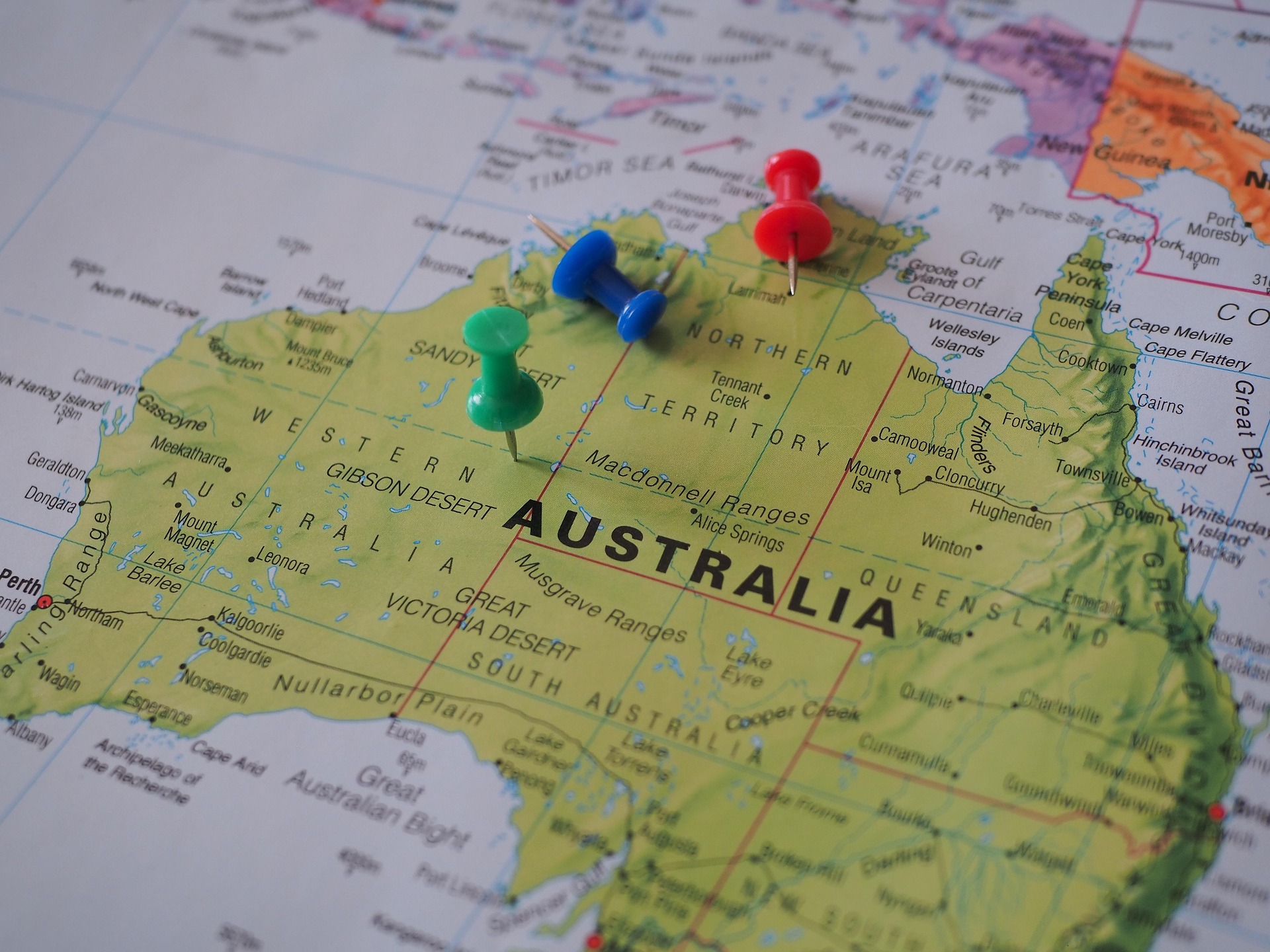
6. Australian Region
Covers: Australia, New Guinea, New Zealand, Tasmania, nearby islands
Climate: Desert to rainforest
Typical Fauna: Kangaroos, koalas, monotremes (platypus), emu, cassowary
Most unique and isolated region
Map Work Activity Suggestions: To support the theoretical understanding:
Labeling Map Activity
Download a blank world map.
Draw boundaries for each zoogeographical region.
Use different colors for each region.
Label continents, oceans, and major landmarks (e.g., Himalayas, Andes, Wallace Line).
Mapping Points
Mark the Wallace Line (separates Oriental and Australian regions).
Highlight Madagascar for Ethiopian endemism.
Indicate Bering Land Bridge for Holarctic connection (Nearctic & Palaearctic).